MOUNT FROSTY
Contributed by David Sellars, Alan Tracey & Paul Krystof
FACTS
Country: Canada
Location: British Columbia, E. C. Manning Provincial Park
Round trip: 22 km
Start elevation: 1,260m
Final Elevation: 2,410m
Maps: (1:50,000): 92H/02
GETTING THERE
From Highway 3 in Manning Park turn south on to Gibson Pass Road. The trail starts at the north end of Lightning Lake at the day-use area.
PARTIAL PLANT LIST
Claytonia lanceolata
Polemonium elegans
Penstemon davidsonii
Penstemon fruticosus
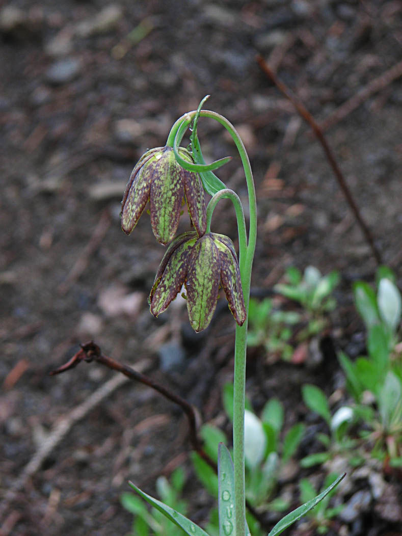
Fritillaria lanceolata
Oxyria digyna
Anemone occidentalis
Anemone drummondii
Saxifraga bronchialis
Saxifraga oppositifolia
Saxifraga caespitosa
Silene acaulis
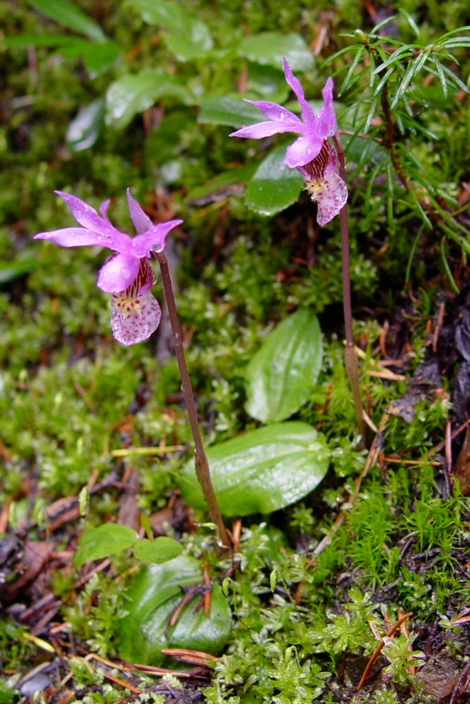
Calypso bulbosa
Veronica cusickii
Erythronium grandiflorum
Caltha leptosepela
Erythronium grandiflorum
Viola sepervirens


Mount Frosty is the highest summit in Manning Park and the hike to the east summit is full of interest though rather long. The trail crosses the dam on Lightning Lake and zig-zags up the forested slope above. Short stretches of open area have a variety of flowers including Penstemon fruticosus. Once the ridge is gained there are flat stretches of trail where in early July you will see Claytonia lanceolata and Anenome occidentalis. Higher on the ridge the trail crosses a lovely larch forest which is the furthest west that Larix lyalii can be seen in southern BC.
The boulder slope above the larch forest has Oxyria digyna and Penstemon davidsonii wedged into rock niches. The rough trail gains a rocky ridge which is climbed easily to the east summit of Mount Frosty with several species of Saxifraga, Silene acaulis and Polemonium elegans growing among the rocks. For a longer return, the ridge to Windy Joe can be followed.
MOUNT FROSTY GALLERY.
The first ten photos were taken in early June. The remainder were taken in early August 2003
Click the arrows to start the slideshow or click on an image to expand.


